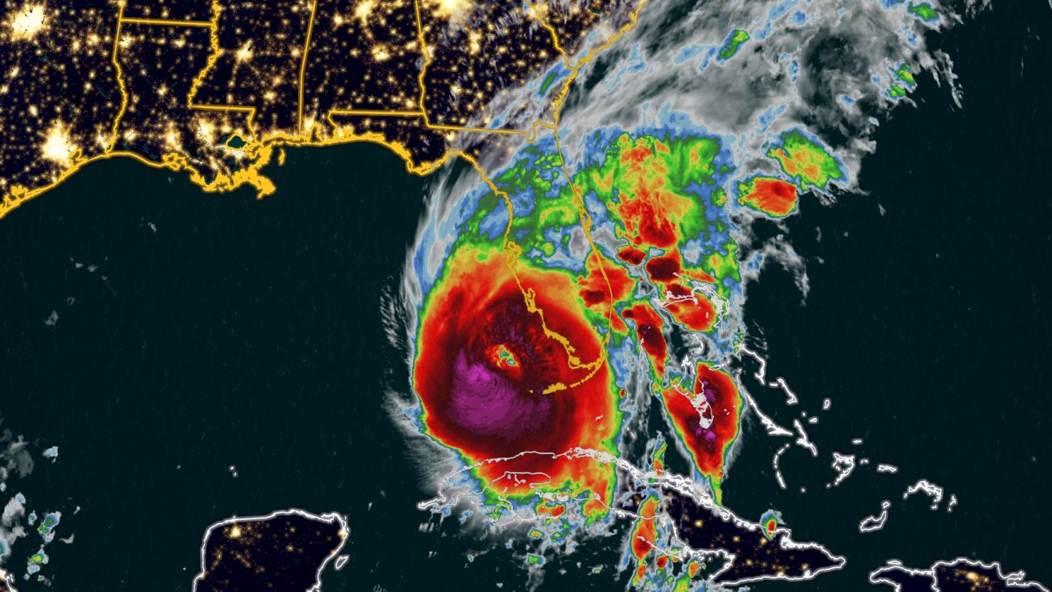
Here’s a list of key locations in Florida that will be impacted by Hurricane Ian – and what CNN meteorologists expect to see as the storm moves through.
These are estimates based on the latest forecast guidance and could still change.
Live updates: Hurricane Ian slams Florida
Fort Myers:
Tropical storm-force wind gusts: Before 8 a.m. Wednesday through 8 a.m. Thursday
Hurricane-force wind gusts: 9 a.m. to 8 p.m. Wednesday
Peak winds: Gusts of 80 to 90 mph and higher, 10 a.m. to 6 p.m. Wednesday
Rainfall expected: 4 to 6 inches through Friday
Storm surge expected: 12 to 16 feet
Punta Gorda/Port Charlotte:
Tropical storm-force wind gusts: Before 8a.m. Wednesday through 9 a.m. Thursday
Hurricane-force wind gusts: 11 a.m. to 10 p.m. Wednesday
Peak winds: Gusts of 110 to 130 mph and higher, 2 p.m. to 7 p.m. Wednesday
Rainfall expected: 6 to 8 inches through Friday
Storm surge expected: 12 to 16 feet
Sarasota:
Tropical storm-force wind gusts: 6 a.m. Wednesday to 9 p.m. Thursday
Hurricane-force wind gusts: 3 p.m. Wednesday to 2 a.m. Thursday
Peak winds: Gusts 80-90 mph and higher, 6 p.m. Wednesday through midnight
Rainfall expected: 10 to 14 inches through Friday
Storm surge expected: 6 to 10 feet
St. Petersburg:
Tropical storm-force wind gusts: 6 a.m. Wednesday to 12 a.m. Friday
Peak winds: Gusts to 70 mph and higher, 8 p.m. Wednesday to 4 a.m. Thursday
Rainfall expected: 10 to 13 inches through Friday
Storm urge expected: 4 to 6 feet
Tampa:
Tropical storm-force wind gusts: 8 a.m. Wednesday to Thursday afternoon
Peak winds: Gusts to 60 mph and higher, 5 p.m. Wednesday to Thursday morning
Rainfall expected: 12 to 15 inches through Friday
Storm surge expected: 4 to 6 feet

